On July 17-19, the IAT attended the ATC 2015 Biennial at Shenandoah University in Winchester, Virginia where it gave 3 hours of presentations and distributed information from an extra large conference booth.
![]()
Among the 1000+ in attendance were IAT Founder Richard “Dick” Anderson (Maine), IAT Geologist Walter Anderson (Maine), IAT Maine President Don Hudson, IAT Chairperson Paul Wylezol (Newfoundland), IAT Europe Vice President Hugh Barron (BGS, Scotland), UK National Trails Rep Mark Owen (England) and distinguished Appalachian geologist Jim Hibbard from North Carolina State University.
After registration on Friday, July 17, the conference began with a series of workshop presentations on Saturday morning. IAT Founder Richard “Dick” Anderson opened for the International Appalachian Trail with a review of the early years of the trail’s formation.
Dick was followed by Jim Hibbard who worked with renowned Appalachian geologist Harold “Hank” Williams on his Tectonic Lithofacies Map of the Appalachian Orogen, which he continued to update and digitize until his recent retirement. Jim gave a presentation on Appalachian geology from Georgia to Newfoundland, where Williams created his innovative and colorful maps.
Paul then introduced the concept of Global Geoparks as it relates to the IAT and the EU Northern Periphery and Arctic Programme’s Drifting Apart project aimed at “unearthing and strengthening the understanding, appreciation and enjoyment of the fascinating and interconnected geological heritage of the Northern Periphery and Arctic region, and its many links to natural, built and cultural heritage.” It will “support the development of new and aspiring Global Geoparks, promote innovative products and services for social and economic prosperity, and continue to build a strong network of Geoparks in the Northern Periphery and Arctic Region.”
IAT Europe Vice President Hugh Barron of the British Geological Survey – who has helped develop Geoparks in Scotland – gave a more detailed presentation on the European Geoparks program, describing criteria for inclusion and maintenance, and identifying many of the Geoparks along the IAT route in Europe.
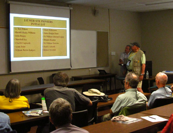
IAT Maine President Don Hudson kicked off the second round of IAT presentations by introducing the IAT’s upcoming Pioneers of Appalachian/Caledonian Geology series. IAT Geologist Walter Anderson followed with a detailed description of the website series and the names of the 15 honourees included in the first round selection. Stay tuned for a special feature on the Pioneers!
Mark Owen of England’s South West Coast Path – hosts of the 2014 IAT AGM – gave a presentation on UK National Trails and a slideshow on his own SWCP. He also introduced Plymouth 400, the celebration planned around the 2020 anniversary of the Mayflower Pilgrims’ voyage to the New World.
The final IAT presentation was by Hugh Barron, who gave an update on IAT Scotland, including the newly launched Firth o Clyde Rotary Trail from the Mull of Galloway in the southwest to Milngavie at the southern end of the West Highland Way near Glasgow. He also discussed a possible new link between IAT Scotland and IAT England.
After the presentations, the IAT delegation presented Appalachian Trail Museum President Larry Luxenberg with a copy of the Appalachian Orogen map developed by “Hank” Williams and Jim Hibbard, before shifting to the conference exhibition hall, where the IAT booth showcased its many flags, posters and maps and distributed IAT promotional material.
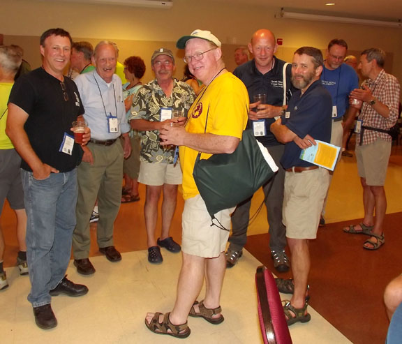
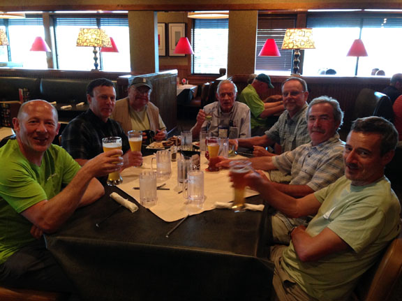
On Saturday night, the group gathered at a local restaurant for the traditional IAT meal, before retiring back to the hotel for a round or two of well-deserved liquid refreshments.
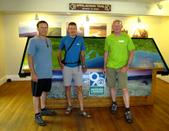
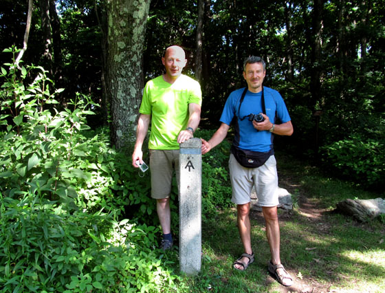
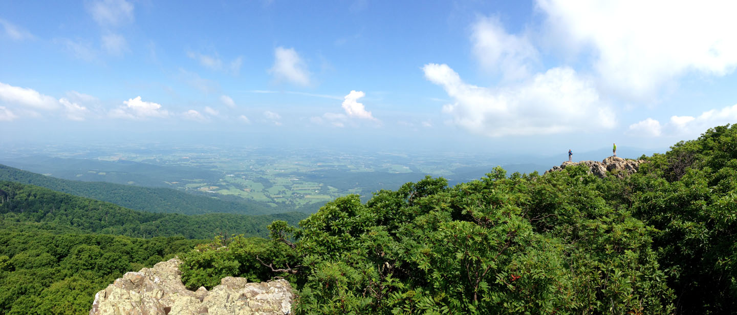
On Sunday morning, Mark, Hugh and Paul hiked sections of the Appalachian Trail in Shenandoah National Park then visited the ATC Visitor Center in Harper’s Ferry, West Virginia before joining a meeting with ATC Executive Director Ron Tipton and Director of Conservation Laura Belleville.
Ron and Laura were presented with the second copy of the Appalachian Orogen map developed by “Hank” Williams and Jim Hibbard. IAT participation in the week-long 2015 Biennial came to an end Sunday evening, July 19, but not before two productive days of promoting the International Appalachian Trail and networking with ATC hikers and officials.
![]()
Many thanks go out to the Appalachian Trail Conservancy and their members for making the IAT feel at home. We hope to return the favour some day and look forward to participating in the ATC 2017 Biennial near the end of the AT – and beginning of the IAT – at Mount Katahdin, Maine!