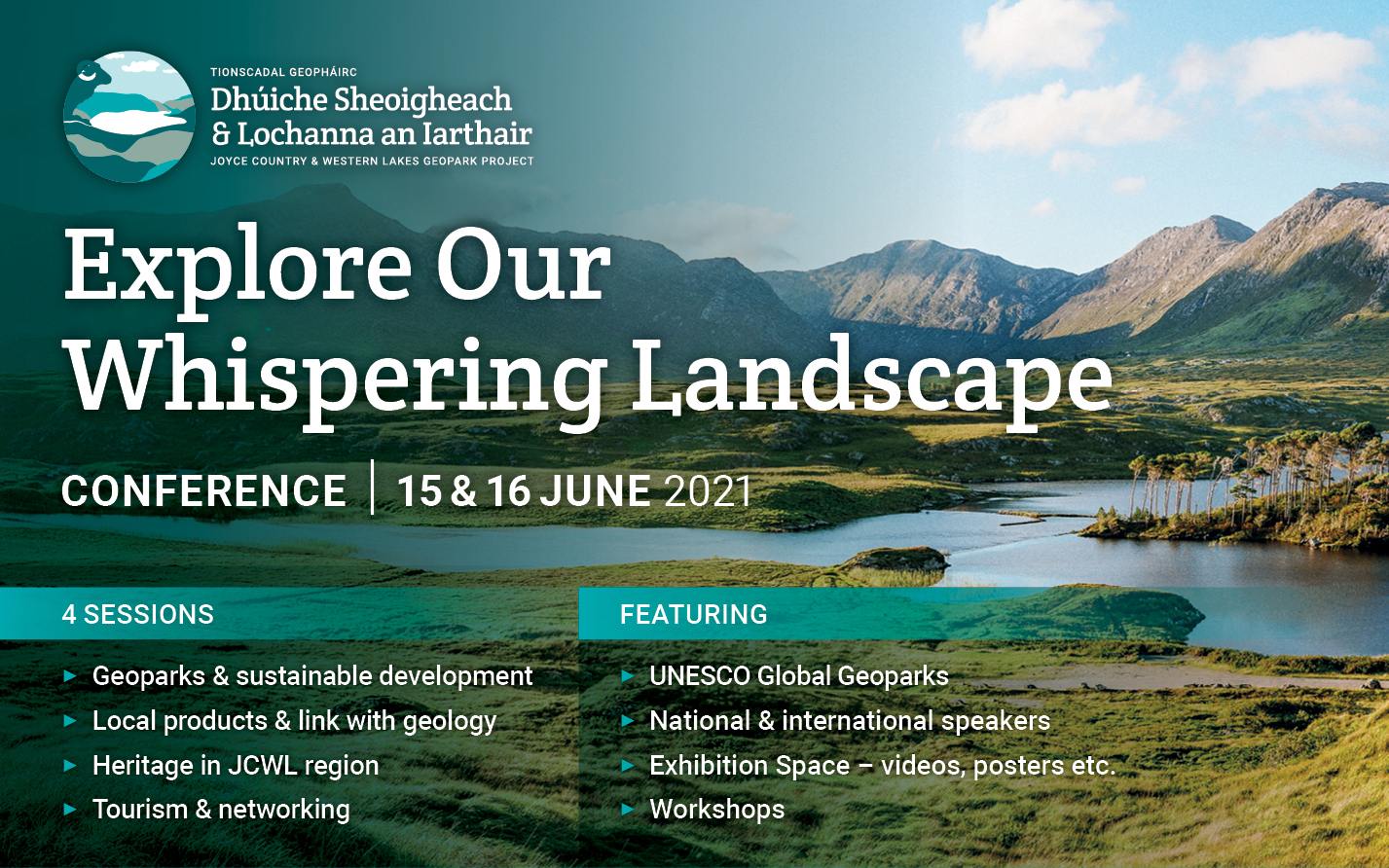
The IAT participates in a two-day virtual conference organized by Dhúiche Sheoigheach & Lochanna an Iarthair––Joyce Country and Western Lakes Geopark Project.
Continue reading7th International Geopark Conference
On September 27-30, IATNL / Cabox Aspiring Geopark Chairperson Paul Wylezol attended the 7th International Conference on UNESCO Global Geoparks at Torquay, England, where he learned more about the UNESCO Global Geopark programme and gave a presentation on next year’s 250th Anniversary of James Cook completing his surveys of Western Newfoundland and Eastern Canada.
Continue reading3rd General Meeting of Cabox Aspiring Geopark
The 3rd general meeting of Newfoundland’s Cabox Aspiring Geopark was held Friday, March 4 at Memorial University’s Grenfell Campus in Corner Brook, with approximately 40 people in attendance. In addition to updates on the past year’s developments and a review of the upcoming application process, MUN Geologist Andy Kerr gave a special presentation entitled ‘Newfoundland, the Bay of Islands, and the Geological Revolution’.

IAT / Cabox Aspiring Geopark Chairperson Paul Wylezol outlined the GeoSite categories, beginning with five geological groupings: Ancient Continental Slope, Transported Continental Margin, Bay of Islands Ophiolite Complex, Little Port Island Arc Complex, and Carboniferous Cover Rocks of the Deer Lake Basin.
IAT Presents at European Geopark Conference
On September 3-5, IAT Chairperson Paul Wylezol attended the European Geoparks Conference in Oulu, Finland, where he gave a presentation on the International Appalachian Trail and its connection to Global Geoparks. The IAT crosses 12 Global Geoparks and Aspiring Geoparks in Canada, Western Europe and Morocco.

The 3-day event was held at the University of Oulu and the nearby Rokua Geopark, and was attended by over 400 representatives from European, Canadian and other Global Geoparks and Aspiring Geoparks.

Day One began with opening welcome by local officials – including Conference Chair Vesa Krökki – and keynote speeches by Global Geoparks President Professor Nickolas Zouros and UNESCO Representative Dr Margarete Patzak followed by a variety of themed presentations by geopark, tourism and conservation organizations.

Many focused on the development and maintenance of Global Geoparks while the IAT presentation – entitled International Appalachian Trail partners with European Geoparks – introduced the IAT and its potential connection between Geoparks found along the IAT route, and was given in association with Carlos Neto de Carvalho and IAT partner Naturtejo Geopark of Portugal. Day Two was reserved for field trips to Rokua Geopark or a walking tour of the city of Oulu.

Day Three began with a keynote presentation by Dr Rauno Väisänen, Director of Metsähallitus Parks & Wildlife Finland followed by more presentations on themes such as conservation, education and communication.

During coffee and lunch breaks between sessions, participants used the opportunity to view poster presentations and interact with guest presenters and geopark representatives. Day Three ended with a closing dinner at Rokua Health & Spa Hotel where Global Geoparks President Nickolas Zouros announced the results of the 2015 Geopark re-evaluations and welcomed 5 new European Geoparks, bringing the total to 69. He also repeated a Day One prediction that the Global Geoparks Network will receive full UNESCO designation (on par with World Heritage Sites) during the 38th UNESCO General Conference in November, thereby becoming UNESCO Global Geoparks.
For more on the 2015 European Geoparks Conference, go to the conference website or the European Geoparks website.
A Geosites Adventure in Newfoundland
On the beautiful morning of August 17, IAT/IATNL Chairperson Paul Wylezol and IATNL Finance Director Kevin Noseworthy set off in a dory from Cox’s Cove, Bay of Islands with Darren Park of Four Seasons Tours in search of Middle Arm geosites for the IATNL planned Cabox Global Geopark.

The Geopark will feature 3 basic zones of the Humber Arm Allochthon: the Ancient Continental Shelf of North America, the Transported Continental Margin of North America, and the Bay of Islands Complex Ophiolite Massifs.

The tour’s first stop was Middle Arm Point between Humber Arm and Middle Arm. Its exposed and weather-beaten headland is a good example of the Zone 2 Cook’s Brook Formation.

There you can see layers of sedimentary limestone and sandstone folded in unique patterns when tectonic collisions closed the Iapetus Ocean and formed the Appalachian Mountains more than 250 million years ago.


From Middle Arm Point, the trio turned back and headed east into Goose Arm and the rising sun. For more on the story, go to the IATNL website.


