After 2022’s successful launch of its new and improved IAT Ireland
IAT Europe’s most westerly chapter has welcomed the Western Way!
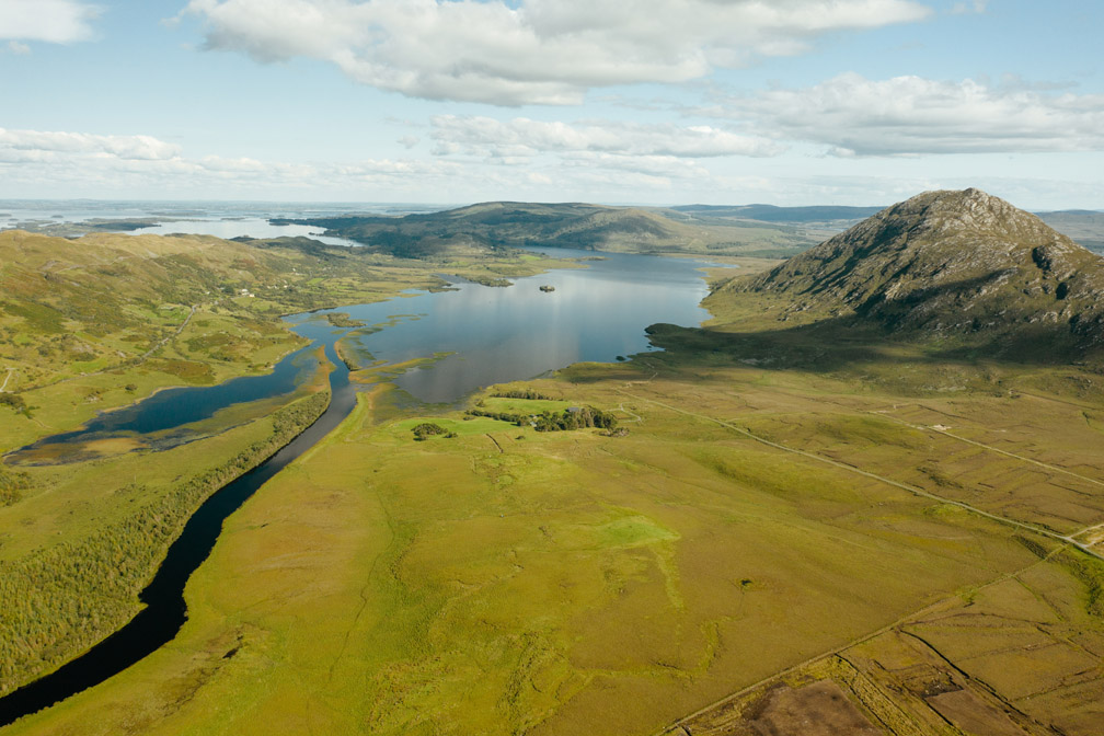
The Western Way is a long-distance walking trail taking in spectacular scenery in the counties of Galway and Mayo in the west of Ireland. The trail begins in Oughterard in County Galway and continues north toward Maum. From Maum it makes its way through the Inagh valley from where it reaches Killary Harbour near Leenane.
The Western Way enters County Mayo at Aasleagh. It then continues in a northerly direction, crossing the eastern slopes of Croagh Patrick, through Westport town to Newport.
Croagh Patrick
The trail passes through the Nephin Mountains to Derry, Bellacorick and Sheskin where it traverses the most remote landscape. From Ballycastle in north Mayo it follows the coastline through Killala to Ballina and on to the County Sligo border near Bunnyconnellan, over 200 kilometres from the start.
Killary Fjord
The trail crosses geological terranes with an abundance of outcrops revealing the Caledonian/Appalachian connections that Ireland shares with the USA, Canada, Greenland and Scotland; in particular, the Dalradian supergroup of metamorphic rocks dating to the Precambrian found in Connemara/Joyce Country in County Galway and the Nephin Mountains in County Mayo. The Ordovician sedimentary rocks found in the South Mayo basin between Leenane and Westport were formed as sediments deposited in front of arc volcanism during the closure of the ancient Iapetus Ocean.
Maam valley, Lough Corrib and Lackavrey
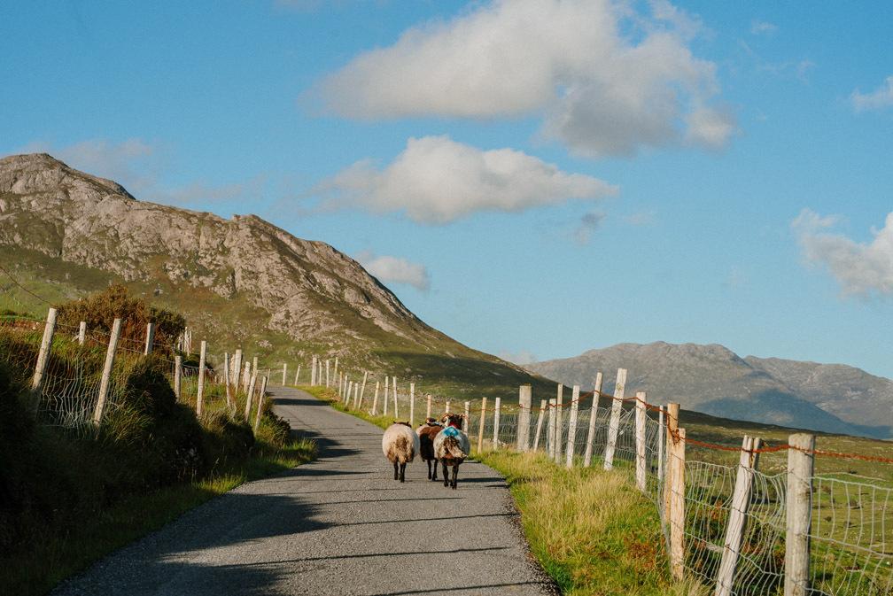
Sheep on trail
These geological connections are particularly emphasised at the Mám Éan geotrail in county Galway in the Joyce Country and Western Lakes aspiring geopark (more info at www.joycecountrygeoparkproject.ie).
Lakes marble formation (Dalradian) exposure at Mám Éan
For more information, visit http://thewesternway.ie/ or contact the Rural Recreation Officer in County Galway Brendan O’Malley () or IAT Ireland Donegal Coordinator Inga Bock ().