New FarOut Guide for Newfoundland now available!

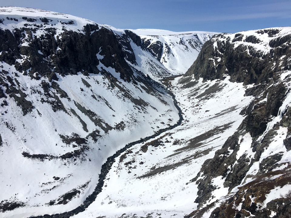
The Newfoundland section of the IAT/SIA has been added to the FarOut trail guide app for long-distance hikers! With over 700km/450mi of “main” trail and 280km/175mi of backcountry “routes”, the Newfoundland section includes some of the most dramatic scenery and challenging hikes on the entire IAT/SIA in North America.

Newfoundland joins IAT/SIA guides for Maine, New Brunswick and Quebec which were released in 2020 along with Prince Edward Island and Nova Scotia which were released earlier this year.

For those unfamiliar with FarOut Guides (formerly known as “Guthook”), they were first developed as an iPhone app in 2012 by AT thru-hiker (and Maine native) Ryan Linn and have become the most widely used trail app for long-distance hikers in the years since. The app allows hikers to download detailed, up-to-date maps and information on campsites, water sources, resupply opportunities and more to any smart phone. Additionally, users can share information about current trail conditions, hiker-friendly towns or places to get a good hamburger.

The Newfoundland section of the IAT/SIA begins near the Marine Atlantic ferry terminal in Port aux Basques at the southwest corner of the island of Newfoundland, then extends north along the west coast to Crow Head at the tip of the Great Northern Peninsula just east of L’Anse aux Meadows UNESCO World Heritage Site, the Vinland of the Greenlander Sagas. 

It is composed of the Newfoundland T’Railway (aka Trans Canada Trail), an assortment of gravel logging roads, and little-traveled secondary highways. Along the way, experienced wilderness hikers can detour onto one of the IATNL backcountry mountain routes spread throughout Western Newfoundland, from the Grand Codroy Way east of Codroy Valley, Lewis Hills Trail and Blow Me Down Traverse between Stephenville and Corner Brook, Humber Valley Trail near the city of Corner Brook, North Arm Traverse on the North Arm Hills between Bay of Islands and Trout River Pond in Gros Morne National Park, and Indian Lookout Trail southeast of Portland Creek on the Great Northern Peninsula.

Once you’ve completed the initial setup of the app, all of the trail guides work offline. They use your device’s internal GPS to display your current location and guide you along the route. Offline use includes access to all features of the guide, including the map, elevation profile, waypoint list, and more.  

Waypoints are plotted on the map and elevation profile, and each waypoint includes its own detail page with photos and descriptions. Water waypoints offer the most up-to-date water information, gathered from trusted sources and checked by other users.

The Newfoundland sections is available for $14.99 (USD). The original Maine and New Brunswick sections are available for $7 (USD) each and the Quebec section is $13. You can buy all six sections for $41.99 – the thru hiker special! For more information visit the FarOut website.

IATNL Launches New Website

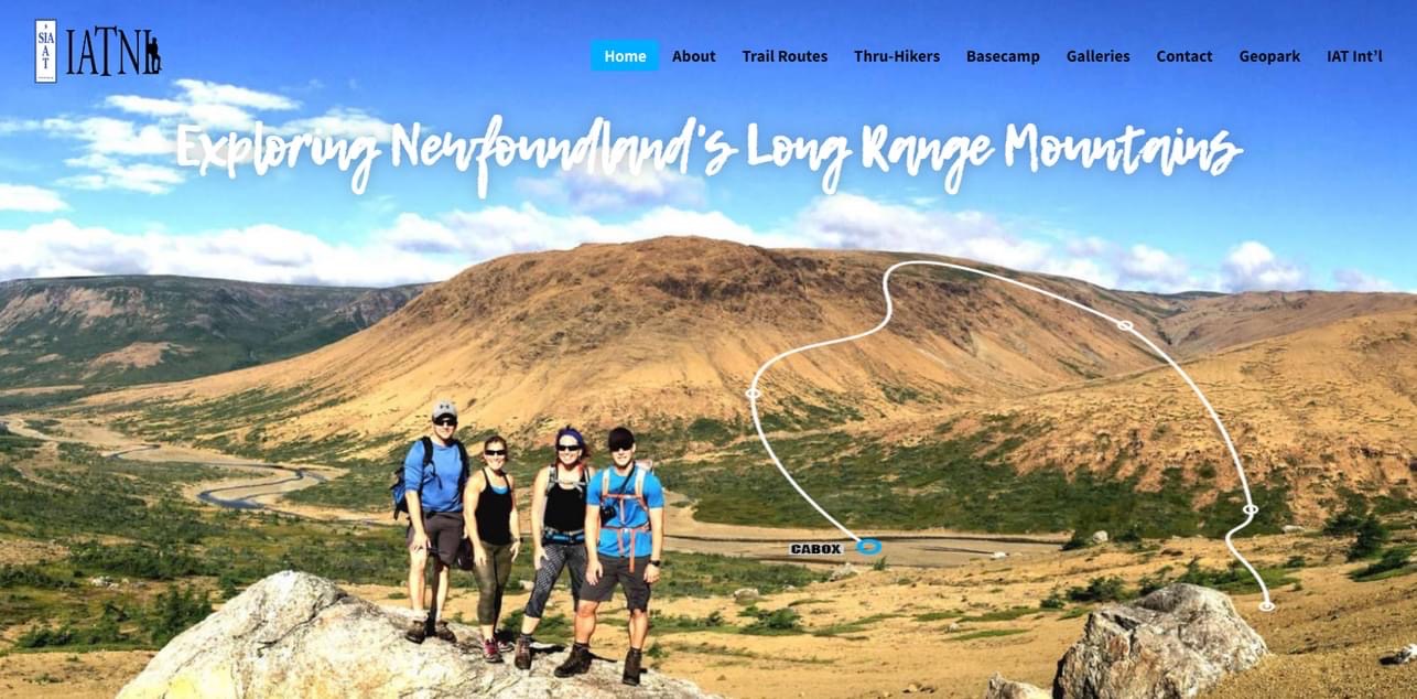
This year the International Appalachian Trail Newfoundland and Labrador (IATNL) is no longer a teenager!  And to mark the 20 year milestone, we are launching a new and improved website with nearly 10,000 photos, numerous trail route descriptions, maps and gps tracks, and over 200 news stories dating back to 2009.

Continue reading

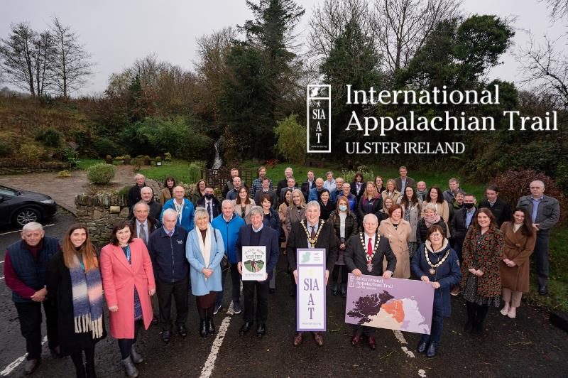
IAT Ireland Welcomes Western Way

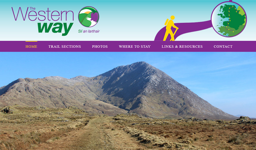
After 2022’s successful launch of its new and improved IAT Ireland, IAT Europe’s most westerly chapter has welcomed the Western Way, a long-distance walking trail taking in spectacular scenery in the counties of Galway and Mayo in the west of Ireland.

Continue reading

IATNL Hosts American Hiking Society Founding President Jim Kern

From July 22 to 27, IATNL executive members Paul Wylezol and Arne Helgeland played host to American Hiking Society Founding President Jim Kern. Paul, Arne and Jim, who soon turns 88, are friends of Appalachian Trail Museum President Larry Luxenberg, who in 2019 joined Paul and Arne on an IAT 10th anniversary tour of Scotland, followed by an Appalachian Outdoor Economy Forum in Northern Ireland.

Continue reading

Explore the great outdoors: IAT Ulster-Ireland

Ireland’s chapter in the International Appalachian Trail runs from the spectacular West Donegal to the stunning North Coast in County Antrim. Get ready to take the next step on one of the world’s largest walking trail networks, the Ulster–Ireland leg of the International Appalachian Trail.

Continue reading

IAT Ulster Ireland Development on Track

Press Release, 1 March 2021. Progress to enhance Ulster Ireland International Appalachian Trail Walking Experience on track. Work to enhance the Derry and Strabane section of the International Appalachian Trial (IAT) is on track to be completed by the end of May 2021.

Continue reading

IATNL Directors Visit AT Southern Terminus

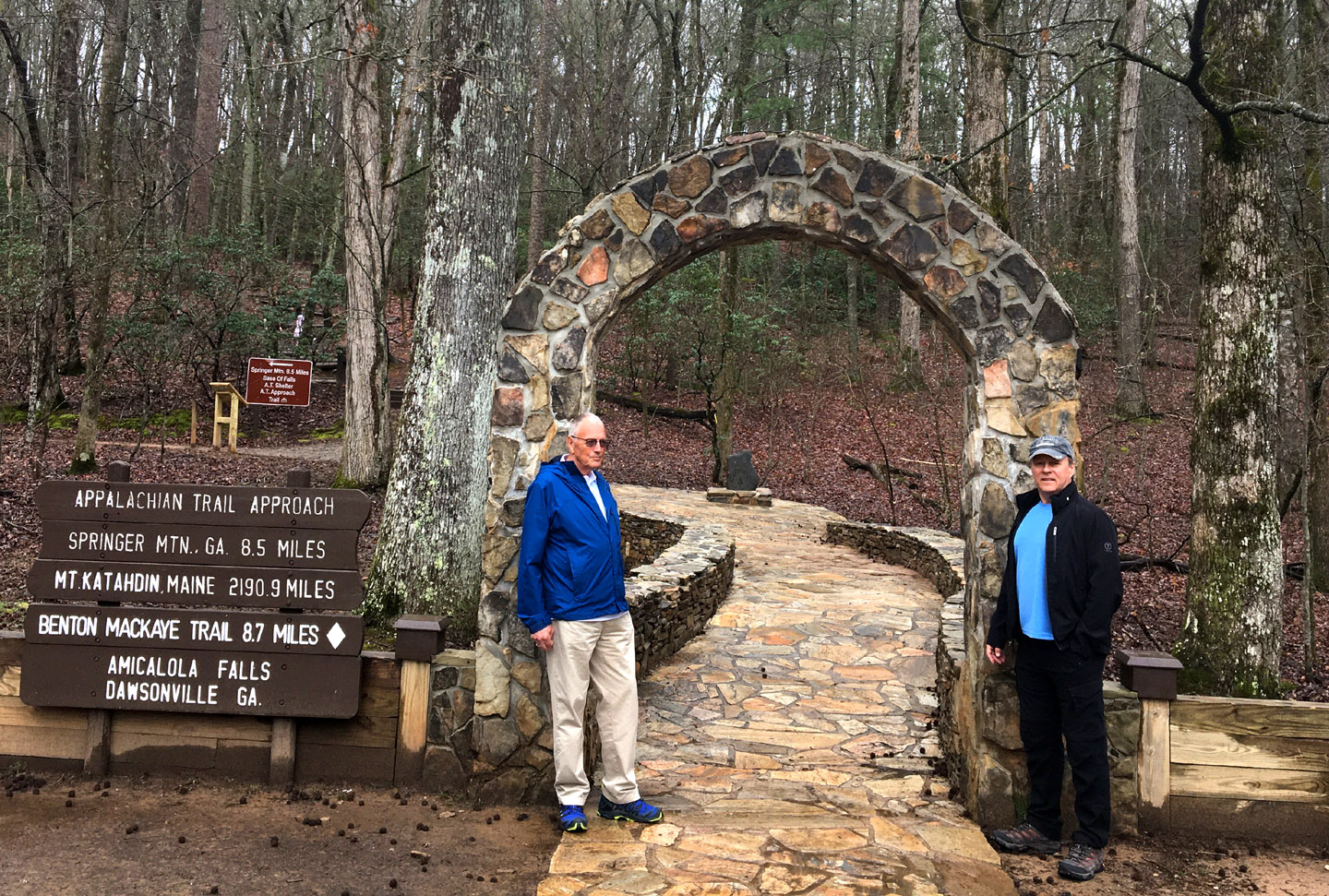
On March 15, IATNL Directors Arne Helgeland and Paul Wylezol visited the Appalachian Trail Basecamp in Amicalola Falls State Park near the southern terminus of the AT at Springer Mountain, Georgia. They took advantage of an opportunity to detour while traveling between New Orleans, LA and Tampa Bay, Florida.

Continue reading

Ulster Ireland Meeting at AMC in Boston

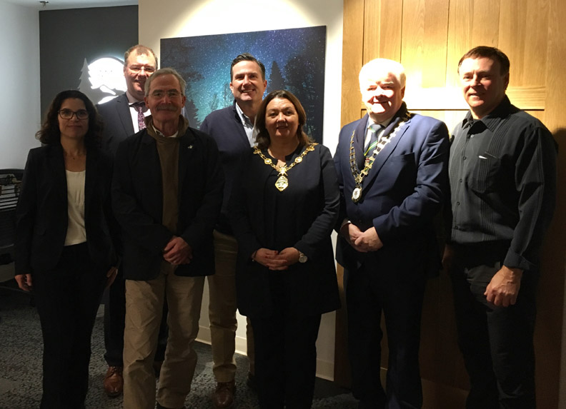
On November 13, IAT Co-Chairs Don Hudson of Maine and Paul Wylezol from Newfoundland joined Ulster Ireland mayors Michaela Boyle (Derry City and Strabane) and Nicholas Crossan (Donegal County) at a meeting with Appalachian Mountain Club President John Judge and Conservation and Recreation Director Heather Clish at their new headquarters in Boston, Massachusetts.

Continue reading

Ulster Ireland Hosts Outdoor Economy Forum

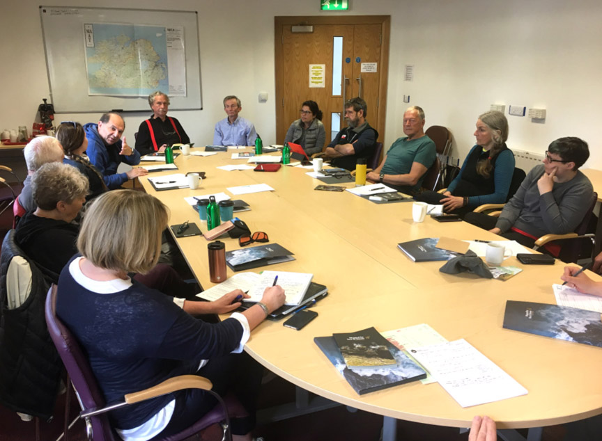
From June 2 to 7, representatives of the International Appalachian Trail (IAT), Appalachian Trail Conservancy (ATC), Appalachian Mountain Club (AMC) and Appalachian Trail Museum gathered in Ulster Ireland for an Outdoor Economy Forum to discuss common issues and assist IAT Ulster Ireland develop a world-class trail network.

Continue reading

10th Anniversary Visit to Scotland

From May 28 to June 2, representatives from IAT Newfoundland and Maine visited Scotland on a 10th anniversary IAT Europe tour which ended in Northern Ireland on June 7 after an Outdoor Economy Forum that also included representatives from the Appalachian Trail Conservancy and Museum, and Appalachian Mountain Club based in Boston, Mass.

Continue reading

IAT 25th Anniversary Meeting at Shin Pond

On May 2-3, the International Appalachian Trail held a 25th Anniversary Meeting at Shin Pond Village in Northern Maine. The meeting was attended by IAT North America representatives from Maine, New Brunswick, Quebec and Newfoundland, as well as long-distance hikers Nimblewill Nomad (M.J. “Eb” Eberhart), Mother Nature’s Son (John Calhoun) and Ed Talone.

Continue reading

How Spain Discovered the “Apalchens”

As the name suggests, the International Appalachian Trail winds its way across sections of North America’s Appalachian Mountains, before crossing the Atlantic Ocean and following other Pangea related mountains of Western Europe and North Africa.  Though the mountains themselves were formed over 250 million years ago when continental plates collided, what is the origin of the name “Appalachian”, the fourth oldest surviving European place name in the United States? 

Our story begins with Christopher Columbus (c.1450-1506), an Italian merchant and navigator from Genoa who sought financial support for a westward voyage across the Atlantic Ocean in search of the East Indies. 

Christopher Columbus, posthumous portrait by Sebastiano del Piombo, 1519

Columbus was inspired by The Travels of Marco Polo and the ideas of Florentine astronomer Paolo dal Pozzo Toscanelli who theorized that sailing west across the Atlantic Ocean would be a more expedient way to reach the riches of the east.

Toscanelli from the monument to Columbus, Vespucci and Toscanelli in the Basilica di Santa Croce in Florence

After twice being rejected by King John II of Portugal (who, after the successful voyage of Bartholomew Diaz around the Cape of Good Hope in 1488, already had a sea route east), Columbus succeeded in receiving support from Spanish Monarchs Isabella I of Castile and Ferdinand II of Aragon.

Queen Isabella I of Castile and King Ferdinand II of Aragon

On August 3, 1492, Columbus set sail from Palos de la Frontera, Spain on his first of four voyages west across the Atlantic Ocean.

Columbus’ three ships: the Niña, the Santa Maria, and the Pinta

After resupplying at Castille’s Canary Islands off the west coast of Africa, he departed September 6 on what would be a 5-week voyage to the Bahama Islands, first sighting land on October 12. 

Christopher Columbus Discovers the Americas for Spain, by John Vanderlyn

Within 10 years and after 3 more voyages, Columbus had explored most of the Caribbean and the east coast of Central America, where he was told by natives of another ocean to the west.

Christopher Columbus’ Four Voyages, 1492-1504

It was Spanish explorer and conquistador Vasco Núñez de Balboa (c.1475-1519), who in 1513, crossed the Isthmus of Panama and became the first European to reach the Pacific Ocean from the New World.

Fellow conquistador Juan Ponce de León (1474-1521) joined Columbus on his second voyage in 1493, and after serving as the first governor of Puerto Rico (1509-1511), set out on March 4, 1513 to search for new lands rumored to be to the north On April 2 during the Easter Season (which the Spaniards called Pascua Florida – Festival of Flowers), he sighted a verdant landscape on the east coast of Florida, which he named La Florida.

Fifteen years later, in April, 1528, Conquistador Pánfilo de Narváez and a fleet of 5 ships arrived on the west coast of Florida near what is now Tampa Bay.  With 300 men, he landed and marched north through the interior in search of gold and other riches, until they reached a Native American village near present-day Tallahassee, whose name they transcribed as Apalchen or Apalachen

Native Americans in Florida, 1591, by Theodor de Bry

Encountering hostility from the natives, they retreated to the coast where Narváez was swept out to see on a raft and never seen again.  After eight years and many ordeals, only 4 survivors lived to reach Spanish forces in Mexico.  In the years that followed, the names Apalchen and Apalachee were used to describe the Florida tribe and interior region to the north.

The Diego Gutiérrez map of the New World (above and below) entitled Americae Sive Quartae Orbis Partis Nova Et Exactissima Descriptio was printed in 1562 and was the first to record the names “Apalchen” (or a derivative) and “California”.   It was printed in Antwerp for the Casa de Contratación, the Spanish government agency which attempted to control all Spanish exploration and colonization.

Diego Gutiérrez’s Americae Sive Quartae Orbis Partis Nova Et Exactissima Descriptio, 1562

In 1539, explorer and conquistador Hernando de Soto led an expedition of 620 men and 220 horses deep into what is now Florida, Georgia, the Carolinas, Tennessee, Alabama and possibly Arkansas.  He was fascinated by the stories of Cabeza de Vaca, one of the four survivors of the 1527-1536 Narváez expedition.  With the help of Spaniard Juan Ortiz who was found living with the native Mocoso, de Soto recruited a series of local guides who were able to communicate with neighbouring tribes, thus acquiring local knowledge of the regions he crossed. 

De Soto, from Retratos de los Españoles Illustres con un Epítome de sus Vidas, Madrid, Imprenta real, 1791

The expedition spent its first winter at Anhaica, capital of the Apalachee.  The following year it journeyed northeast through Georgia, South Carolina (where de Soto was received by female chief Cofitachequi) and North Carolina (where the men spent a month searching for gold in the Appalachian Mountains), before turning west and south into Tennessee, Georgia and Alabama.

Native Americans searching for gold in a stream, by Theodor de Bry, 1591

The following year the expedition headed west and reached the Mississippi River, where in May 1542, de Soto died of fever.  His men continued on under the command of Luis de Moscoso Alvarado and reached Texas, before turning back and sailing down the Mississippi to the Gulf Coast. 

Though the De Soto expedition failed to find riches or establish a colony, it did contribute greatly to European knowledge of the geography, biology and ethnology of the land known as Florida.  French artist and cartographer Jacques le Moyne de Morgues used it in his 1565 map of Florida, which was the first to use “Apalachee”, or the Latin “Apalatci”, to refer to the Appalachian Mountains.


De Bry and Le Moyne Map of Florida and Cuba, 1591

Before long the entire southeast north of Florida – which itself spanned all of the southeast – became known as the land of Apalche, or Apalachee.  The mountains to the north became known as the Allegheny Mountains, purportedly derived from the Lenape word for ‘fine river’. 

Corneille Wytfliet map of “Florida” and “Apalche”, 1597

In 1569, Flemish cartographer Gerardus Mercator completed a world map entitled Nova et Aucta Orbis Terrae Descriptio ad Usum Navigantium Emendate Accommodata, which was the first to show the Appalachian Mountains as a continuous mountain range stretching along the east coast of North America. It was also the first map to use the Mercator projection, whereby lines of constant compass bearing are straight lines on the map.

Appalachian Mountain detail from Gerardus Mercator’s World Map, 1569

By the 19th century, both “Appalachian” and “Allegheny” were applied to the entire length of the eastern mountain system, replacing numerous more localized names such as Endless, Black and Smoky mountains.  “Appalachian” became favored for the whole system following the publication of A.H. Guyot’s study On the Appalachian Mountain System in 1861, which is credited with securing scientific usage of “Appalachian”, and eventually leading to the popular endorsement of the term (Stewart, 1945).

Approaching the Allegheny Mountains, North Carolina, by Joshua Shaw (1777-1860)

In an ironic twist to the Appalachian story, the Conquistador Hernando de Soto was born in 1496 in Extremadura, Spain, near the country’s Appalachian mountain cousins … y El Sendero Internacional de los Apalaches!