Ulster Ireland Meeting at AMC in Boston

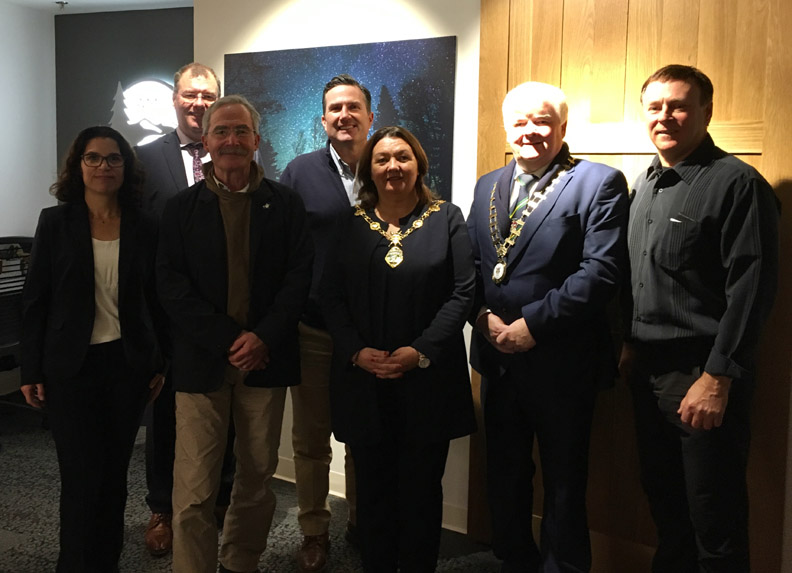
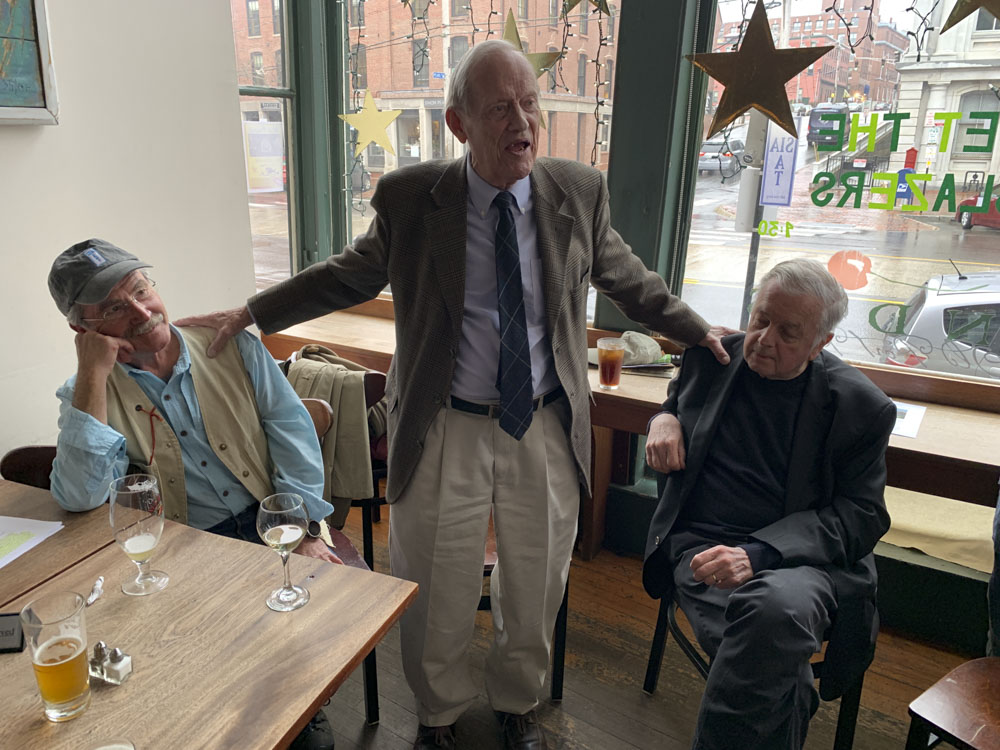
On November 13, IAT Co-Chairs Don Hudson of Maine and Paul Wylezol from Newfoundland joined Ulster Ireland mayors Michaela Boyle (Derry City and Strabane) and Nicholas Crossan (Donegal County) at a meeting with Appalachian Mountain Club President John Judge and Conservation and Recreation Director Heather Clish at their new headquarters in Boston, Massachusetts.

Continue reading

Coming to a smart phone near you!

Guthook Guides

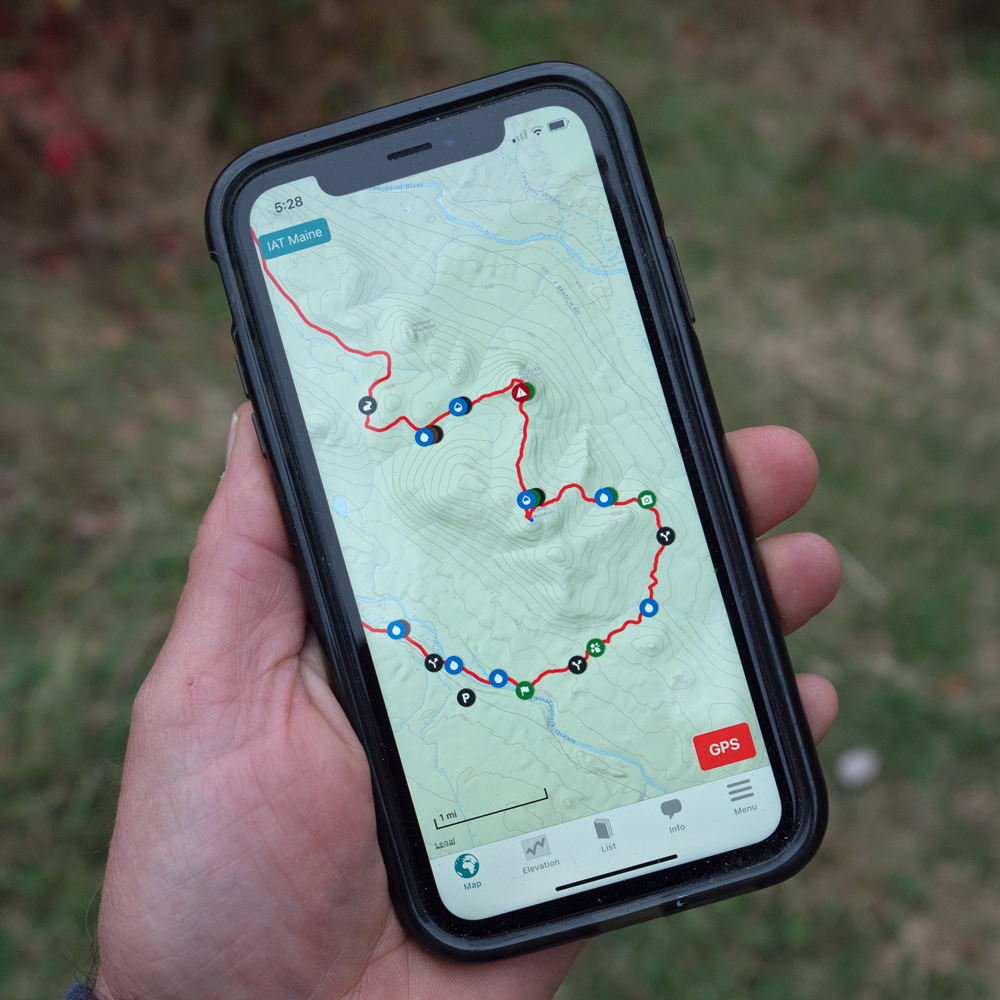
For the past six months, the Maine Chapter of the IAT has been working with the developers of the premiere trail guide app, Guthook Guides, to create a digital hiker’s guide of the International Appalachian Trail in Maine and Canada.

Continue reading

Ulster Ireland Hosts Outdoor Economy Forum

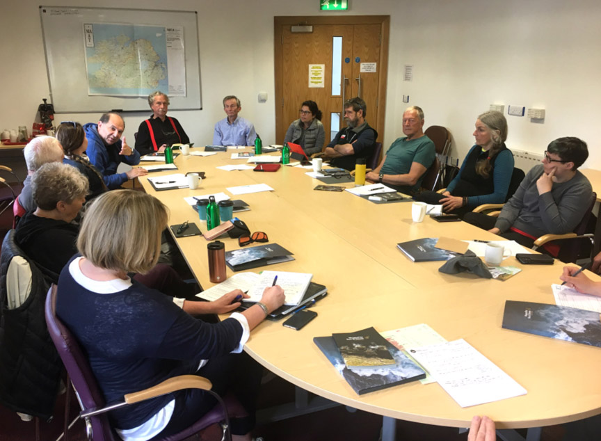
From June 2 to 7, representatives of the International Appalachian Trail (IAT), Appalachian Trail Conservancy (ATC), Appalachian Mountain Club (AMC) and Appalachian Trail Museum gathered in Ulster Ireland for an Outdoor Economy Forum to discuss common issues and assist IAT Ulster Ireland develop a world-class trail network.

Continue reading

10th Anniversary Visit to Scotland

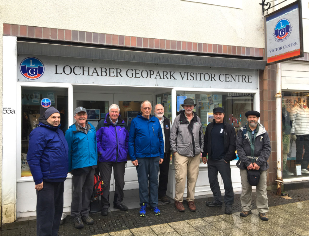
From May 28 to June 2, representatives from IAT Newfoundland and Maine visited Scotland on a 10th anniversary IAT Europe tour which ended in Northern Ireland on June 7 after an Outdoor Economy Forum that also included representatives from the Appalachian Trail Conservancy and Museum, and Appalachian Mountain Club based in Boston, Mass.

Continue reading

IAT 25th Anniversary Meeting at Shin Pond

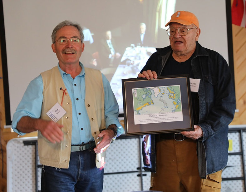
On May 2-3, the International Appalachian Trail held a 25th Anniversary Meeting at Shin Pond Village in Northern Maine. The meeting was attended by IAT North America representatives from Maine, New Brunswick, Quebec and Newfoundland, as well as long-distance hikers Nimblewill Nomad (M.J. “Eb” Eberhart), Mother Nature’s Son (John Calhoun) and Ed Talone.

Continue reading

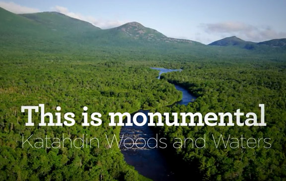
Film showcases journey through Katahdin Woods and Waters

On August 24th in 2016, an 87,563-acre plot of land in the heart of Maine was designated the Katahdin Woods and Waters National Monument by former President Barack Obama. Although met with controversy on all sides, the area had yet been explored on a large scale. In September 2017, a team of four Maine-born photographers set out on a three-part journey through Katahdin Woods and Waters to investigate.

Continue reading

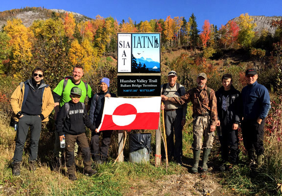
IAT Greenlanders Hikes IAT Newfoundland

From October 12 to 15, a small group of Greenland youth from the Uummannaq Peninsula and their Danish leader René Kristensen were in Western Newfoundland to hike sections of the IATNL. They were joined by French film maker Marc Buriot and arrived from St. John`s where they attended an Inuit Studies Conference and screened local Greenland films, including INUK.

Continue reading

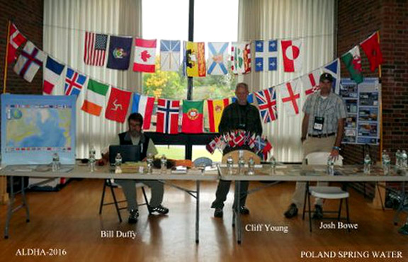
IAT Attends ALDHA’s 35th Annual Gathering

Highlighted by a blaze of fall colors, Board Members of the Maine Chapter of the International Appalachian Trail (MaineIAT) traveled along the Mohawk Trail (Rt.2) to Williams College, Williamstown, Mass. to attend the 3-day 35th Annual Gathering of the Appalachian Long Distance Hikers Association (ALDHA).

Continue reading

IAT Presents at England’s Cook Museums

On September 16 & 17, IAT Chairperson Paul Wylezol was in England visiting the Captain Cook Memorial Museum in Whitby and Captain Cook Birthplace Museum in Marton.  While there he gave a presentation on the 250th Anniversary of James Cook completing his surveys in Eastern Canada, most noteably in Newfoundland.   In the coming years, James Cook 250 will a unique opportunity for the IAT and partner UK National Trails to promote their natural and cultural heritage across the North Atlantic and South Pacific. The visit began … where else? … checking into the Endeavour pub with accommodations in Whitby.

The pub is located just around the corner from the Captain Cook Memorial Museum, which is housed in the 17th century Walker House on Grape Lane. The harbourside house owned by Captain John Walker was where the young James Cook lodged as an apprentice and trained as a seaman. It has a large courtyard overlooking the harbour, where Whitby colliers were once built and set sail for trade in the North and Baltics Seas. It stands 3-stories, with the ground floor furnished according to an inventory of 1754 and the other two floors containing exhibits of Cook related maps, paintings and other artifacts.

Paul was given a tour of the museum by Sophie Forgan, Chairperson of Trustees

(L-R) Trustee Chairperson Sophie Forgan, Paul Wylezol & Chairman of Management Committee Peter Brown

before giving a presentation in the new reception area adjacent to the entrance. In addition to maps showing Cook’s survey work in Nova Scotia, Quebec and Newfoundland & Labrador it also included excerpts from Memorial University of Newfoundland (Grenfell Campus) History Professor Olaf Janzen’s recent paper entitled The Significance of James Cook’s Newfoundland Years.

From Whitby, Paul travelled to the nearby Captain Cook Birthplace Museum in Marton. The modern museum is located in Stewart Park near the city of Middlesbrough and was built near the location of Cook’s birthplace cottage. It opened October 28, 1978 on the 250th Anniversary of the explorer’s birthday. It houses a variety of exhibits, from Cook’s childhood and formative years in England to his navy and surveying years in Eastern Canada and three voyages of discovery to the Pacific Ocean. Cook’s five years surveying the vast and remote coastline of Newfoundland is recognized as ideal preparation for his role of leading the 1768 voyage to the Pacific to witness the transit of Venus.

As in Whitby, Paul’s presentation focused on Cook’s time in Nova Scotia, Quebec and Newfoundland & Labrador and the 2017 James Cook 250 Anniversary celebration planned by the IATNL and Western Newfoundland’s Cabox Aspiring Geopark, to coincide with the 150th Anniversary of the Confederation of Canada. After the presentation and Q&A, Paul went on a walking tour of the grounds with Senior Museum Curator Phil Philo and IAT partner Cleveland Way National Trail Manager Malcolm Hodgson, who helped arrange the visit and presentations. Many thanks to Phil and the staff at the Captain Cook Birthplace Museum, as well as Sophie, Peter and the staff at the Captain Cook Memorial Museum in Whitby, for the warm welcome and opportunity to present the 250th Anniversary story of Cook in Eastern Canada.

(L to R) Malcolm Hodgson, Paul Wylezol and Phil Philo

Many thanks also to Malcolm and Memorial University of Newfoundland (Grenfell Campus) History Professor Olaf Janzen for contributing his recent Cook in Newfoundland paper.  We hope to see you all again in 2017! For more on the story, go to love Middlesbrough blog.

IAT Scotland’s Tom Stevenson Awarded BEM

Left to right, John Ross, Jimmy Begg, Tom Stevenson, Robert Clark and Ronnie Irving at the information board adjacent to the Tourist Office at Stranraer waterfront. The IAT Scotland logo is located bottom right.

On June 20 after some delay, Tom Stevenson, project manager for Scotland’s Mull of Galloway Trail and member of the Rotary Club of Stranraer, became the first IAT representative to receive a British Empire Medal.    The presentation was made by Lord Lieutenant of Wigtown Dr John Ross at a Rotary meeting at North West Castle Hotel, Stranraer, and was attended by many of the members who helped create the Mull of Galloway Trail.

Tom and his wife Sheila on the grounds of Buckingham Palace

In May, Tom and his wife Sheila attended a Royal Garden Party at Buckingham Palace, which was also attended by the Queen, Duke of Edinburgh and many other members of the Royal Family.  All recipients of the BEM are invited to a Royal Garden Party and while residents of Scotland normally go to Edinburgh, Tom and his wife – who previously attended an event at Holyrood Palace – were able to arrange travel to London.  They remained for four days and visited the Houses of Parliament (where they saw processions going to and from the State Opening of Parliament) and Royal Mews directly opposite their hotel on Buckingham Palace Road.

Tom first found out about the nomination in November 2015, but kept it secret from family and friends – except his wife – until December 30.   “I was surprised and delighted when I found out,” he said.  “I hope it will be good for both the trail and the club.” 

Tom in the driver’s seat on the Mull of Galloway Trail

The Mull of Galloway Trail continues to be well used and the number of website visitors keeps increasing every year.  During 2015 the site had over 15,000 unique visitors and over 1,000,000 hits.  This spring and summer Tom and his crew were busy doing maintenance and improvements on the trail, with the local Council agreeing to cover many of the costs.

In May 2015, the Rotary Clubs of Stranraer, Ayr, Gourock, and Allander gathered at Milngavie to inaugurate the Firth o Clyde Rotary Trail, a partnership of the Mull of Galloway Trail, Ayrshire Coastal Path and Clyde Coastal Path. 

At Milngavie, the 161 mile (266km) IAT Scotland route through the Lowlands meets the West Highland Way, and continues north to Fort William and the Cape Wrath Trail. 

Tom Stevenson

Congratulations Tom Stevenson BEM!

… and the Mull of Galloway Trail and Stranraer Rotary!


Maine to Reroute 52 Miles of IAT

The International Appalachian Trail continues to draw hikers to northern Maine, offering a tour through varied landscapes and a connection to Canada and beyond.

This summer, the Maine chapter is aiming to reroute 52 miles of the trail that currently is set along roadways in southern Aroostook County. About 65 miles of trail are currently set along a road shoulder.

The roughly 13 miles along Grand Lake Road from Matagamon to Shin Pond is actually “good road walking,” with wide shoulders and few trucks, and that will remain a part of the route, Hudson said. For the other 52 miles, the chapter is working with landowners to reroute the trail from Shin Pond to Monticello, aiming to move the trail to old woods roads and all-terrain vehicle trails. A section they’ve secured will run along the south side of Mount Chase, and offer a link to a trail up the 2,440-foot mountain of the same name.

Location of new sectiion of off-road trail

“The idea is in the long-run to get rid of the bulk of the road walking, and to use a combination of woods roads and paths,” including multi-use ATV trails, said Hudson, the former president of the Chewonki Foundation in Wiscasset.

For more on the story, go to the Bangor Daily News – Maine Outdoors website.

IAT Ulster-Ireland to Host Annual Meeting

From September 19 to 25, IAT Ulster-Ireland will host the 2016 IAT Annual General Meeting in Strabane, Northern Ireland.  The weeklong event begins at the Ulster American Folk Park in Omagh, where the IAT chapter was officially launched in August 2013.

Official IAT Ulster-Ireland Launch, August 31, 2013

It then moves west to Slieve League and the county of Donegal in the Republic of Ireland, where American Appalachian hiker Cotton Joe Norman began the first IAT Ulster-Ireland thru-hike in September 2013.

Cotton Joe on the trail at Slieve League

The trail starts at the 601 meter (1972 ft) Slieve League on the Atlantic coast then crosses the Blue Stack Mountains before entering Northern Ireland.   It then picks up the Ulster Way and passes the Giant’s Causeway on the stunning northern coastline, before traversing the Glens of Antrim.

The IAT in Ulster~Ireland

After Donegal, the AGM schedule moves to Derry/Londonderry for a pre-AGM tour, followed by the Annual General Meeting in Strabane.  The tentative schedule of weeklong activities is:

A list of accommodation is being prepared, and it is hoped that delegates will stay in Castlederg / Derg Valley area of County Tyrone, close to the trail and border with County Donegal.  Transport will be provided every day from and to Castlederg, including all trips up to and including the AGM in Strabane.  On Friday morning, delegates will be transported to the North East Coast for the weekend’s itinerary.

For more complete visitor information, including transportation links and accommodations list, download the Delegate Information Guide,  then go to the IAT Ulster-Ireland website and start planning your visit! 

Pioneers of Appalachian/Caledonian Geology

A committee of IAT geologists including Walter Anderson, Robert Marvinney, Jim Hibbard, John Calder, and Hugh Barron have established guidelines and selected the first group of deceased honorees who are being recognized for their significant contribution to the understanding of Appalachian/Caledonian geology. Look for the stories of these Pioneers of Appalachian/Caledonian Geology on the IAT website soon!


IAT Crosses the Mediterranean into Africa

In July 2015, the International Appalachian Trail crossed the Mediterranean Sea from Spain into Morocco.  The addition of the African country marks the third and final continent of IAT expansion beyond borders to all “Appalachian” regions once connected on the super-continent Pangea more than 250 million years ago, when the Appalachians, Caledonians, and Anti Atlas Mountains were formed.

The first phase of IAT Morocco will extend approximately 600 kms from Midelt to Taroudant and be divided into 3 sections –  Midelt to Megdaz, Megdaz to Imlil (High Atlas Central), and Imlil to Tagmout (near Taroudant) – taking a combined 40+ days to complete on foot.

Map of IAT Morocco

Along the way, hikers will experience geography, culture and religious traditions unlike anything previously experienced along the IAT, from deserts to Berbers to the Muslim call to prayer.

Berber guide holding the IAT Morocco blaze

Highlights include Jebel Ayachi (the highest peak in the middle Atlas), 700m high Tatrout gorge, the famous Plateau Lakes and fortified cliffside village of Irherm n’ Ouchtim, the ridge of Mgoun (the second highest peak in North Africa) and Megdez, arguably the most beautiful village in the Atlas Mountains.

Red earth houses of Megdez

Next up are Anghomer Pass (Tizi n’Timlilt, 3100m) and the tremendous views of Ouazarzate and Jebel Sahro range, Ardrar Mahboub with its superb views south towards the Sahara, Yagour Plateau (well-known for rock carvings), and Mount Toubkal, at 4167m, the highest peak in the High Atlas and North Africa.

Red earth houses of Megdez

Others include the Sultan’s Kasbah Gandafa Palace (17th century), Tinmal Mosque (12th century), Jebel Imaradene summit, and the plateau of a thousand peaks.

Tinmal Mosque

The IAT Morocco blaze (i.e., trail marker) contains the familiar IAT/SIA  layout, with the addition of the country’s flag on top and IAT QR code at bottom.

Blazes are currently being installed along the route, with the assistance of IAT partner Morocco Trek and local volunteers. Hikers looking for assistance in finding the route and planning their IAT Morocco adventure can contact Morocco Trek at http://www.moroccotrek.co.uk/.

Morocco Trek Campsite near Megdez


How Spain Discovered the “Apalchens”

As the name suggests, the International Appalachian Trail winds its way across sections of North America’s Appalachian Mountains, before crossing the Atlantic Ocean and following other Pangea related mountains of Western Europe and North Africa.  Though the mountains themselves were formed over 250 million years ago when continental plates collided, what is the origin of the name “Appalachian”, the fourth oldest surviving European place name in the United States? 

Our story begins with Christopher Columbus (c.1450-1506), an Italian merchant and navigator from Genoa who sought financial support for a westward voyage across the Atlantic Ocean in search of the East Indies. 

Christopher Columbus, posthumous portrait by Sebastiano del Piombo, 1519

Columbus was inspired by The Travels of Marco Polo and the ideas of Florentine astronomer Paolo dal Pozzo Toscanelli who theorized that sailing west across the Atlantic Ocean would be a more expedient way to reach the riches of the east.

Toscanelli from the monument to Columbus, Vespucci and Toscanelli in the Basilica di Santa Croce in Florence

After twice being rejected by King John II of Portugal (who, after the successful voyage of Bartholomew Diaz around the Cape of Good Hope in 1488, already had a sea route east), Columbus succeeded in receiving support from Spanish Monarchs Isabella I of Castile and Ferdinand II of Aragon.

Queen Isabella I of Castile and King Ferdinand II of Aragon

On August 3, 1492, Columbus set sail from Palos de la Frontera, Spain on his first of four voyages west across the Atlantic Ocean.

Columbus’ three ships: the Niña, the Santa Maria, and the Pinta

After resupplying at Castille’s Canary Islands off the west coast of Africa, he departed September 6 on what would be a 5-week voyage to the Bahama Islands, first sighting land on October 12. 

Christopher Columbus Discovers the Americas for Spain, by John Vanderlyn

Within 10 years and after 3 more voyages, Columbus had explored most of the Caribbean and the east coast of Central America, where he was told by natives of another ocean to the west.

Christopher Columbus’ Four Voyages, 1492-1504

It was Spanish explorer and conquistador Vasco Núñez de Balboa (c.1475-1519), who in 1513, crossed the Isthmus of Panama and became the first European to reach the Pacific Ocean from the New World.

Fellow conquistador Juan Ponce de León (1474-1521) joined Columbus on his second voyage in 1493, and after serving as the first governor of Puerto Rico (1509-1511), set out on March 4, 1513 to search for new lands rumored to be to the north On April 2 during the Easter Season (which the Spaniards called Pascua Florida – Festival of Flowers), he sighted a verdant landscape on the east coast of Florida, which he named La Florida.

Fifteen years later, in April, 1528, Conquistador Pánfilo de Narváez and a fleet of 5 ships arrived on the west coast of Florida near what is now Tampa Bay.  With 300 men, he landed and marched north through the interior in search of gold and other riches, until they reached a Native American village near present-day Tallahassee, whose name they transcribed as Apalchen or Apalachen

Native Americans in Florida, 1591, by Theodor de Bry

Encountering hostility from the natives, they retreated to the coast where Narváez was swept out to see on a raft and never seen again.  After eight years and many ordeals, only 4 survivors lived to reach Spanish forces in Mexico.  In the years that followed, the names Apalchen and Apalachee were used to describe the Florida tribe and interior region to the north.

The Diego Gutiérrez map of the New World (above and below) entitled Americae Sive Quartae Orbis Partis Nova Et Exactissima Descriptio was printed in 1562 and was the first to record the names “Apalchen” (or a derivative) and “California”.   It was printed in Antwerp for the Casa de Contratación, the Spanish government agency which attempted to control all Spanish exploration and colonization.

Diego Gutiérrez’s Americae Sive Quartae Orbis Partis Nova Et Exactissima Descriptio, 1562

In 1539, explorer and conquistador Hernando de Soto led an expedition of 620 men and 220 horses deep into what is now Florida, Georgia, the Carolinas, Tennessee, Alabama and possibly Arkansas.  He was fascinated by the stories of Cabeza de Vaca, one of the four survivors of the 1527-1536 Narváez expedition.  With the help of Spaniard Juan Ortiz who was found living with the native Mocoso, de Soto recruited a series of local guides who were able to communicate with neighbouring tribes, thus acquiring local knowledge of the regions he crossed. 

De Soto, from Retratos de los Españoles Illustres con un Epítome de sus Vidas, Madrid, Imprenta real, 1791

The expedition spent its first winter at Anhaica, capital of the Apalachee.  The following year it journeyed northeast through Georgia, South Carolina (where de Soto was received by female chief Cofitachequi) and North Carolina (where the men spent a month searching for gold in the Appalachian Mountains), before turning west and south into Tennessee, Georgia and Alabama.

Native Americans searching for gold in a stream, by Theodor de Bry, 1591

The following year the expedition headed west and reached the Mississippi River, where in May 1542, de Soto died of fever.  His men continued on under the command of Luis de Moscoso Alvarado and reached Texas, before turning back and sailing down the Mississippi to the Gulf Coast. 

Though the De Soto expedition failed to find riches or establish a colony, it did contribute greatly to European knowledge of the geography, biology and ethnology of the land known as Florida.  French artist and cartographer Jacques le Moyne de Morgues used it in his 1565 map of Florida, which was the first to use “Apalachee”, or the Latin “Apalatci”, to refer to the Appalachian Mountains.


De Bry and Le Moyne Map of Florida and Cuba, 1591

Before long the entire southeast north of Florida – which itself spanned all of the southeast – became known as the land of Apalche, or Apalachee.  The mountains to the north became known as the Allegheny Mountains, purportedly derived from the Lenape word for ‘fine river’. 

Corneille Wytfliet map of “Florida” and “Apalche”, 1597

In 1569, Flemish cartographer Gerardus Mercator completed a world map entitled Nova et Aucta Orbis Terrae Descriptio ad Usum Navigantium Emendate Accommodata, which was the first to show the Appalachian Mountains as a continuous mountain range stretching along the east coast of North America. It was also the first map to use the Mercator projection, whereby lines of constant compass bearing are straight lines on the map.

Appalachian Mountain detail from Gerardus Mercator’s World Map, 1569

By the 19th century, both “Appalachian” and “Allegheny” were applied to the entire length of the eastern mountain system, replacing numerous more localized names such as Endless, Black and Smoky mountains.  “Appalachian” became favored for the whole system following the publication of A.H. Guyot’s study On the Appalachian Mountain System in 1861, which is credited with securing scientific usage of “Appalachian”, and eventually leading to the popular endorsement of the term (Stewart, 1945).

Approaching the Allegheny Mountains, North Carolina, by Joshua Shaw (1777-1860)

In an ironic twist to the Appalachian story, the Conquistador Hernando de Soto was born in 1496 in Extremadura, Spain, near the country’s Appalachian mountain cousins … y El Sendero Internacional de los Apalaches!